INTRODUCTION TO FABIO NICOLAS LUNA
“I will take part in the ISA programme because I believe that forests are vitally important for sustaining life on Earth and play a major role in the fight against climate change. Additionally, conservation monitoring may reduce inequality in Colombian society by the design of territorial plans. “
Fabio Nicolas Luna (33 years) is working as a geoinformation analyst who believes that remote sensing tools should be used for observing and conserving our environment. He obtained practical knowledge running processes about structuring and mapping spatial information using commercial and open-source software. Currently, environmental monitoring systems are what motivates his interest in web application development.
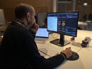
 His project aims to monitor deforestation in the Colombian Amazon using Sentinel 1 datasets and Operation Dashboard for ArcGIS. The sponsoring company, Earth Big Data, has developed Python notebooks to extract coverage changes in the Caquetá region (Colombia) by analyzing radar satellite signal variations. This information should be stored in a geographic database for extracting deforestation areas through a spatial analysis with cadastral and natural parks data. These analyses may be presented by ESRI web applications, which will help the private sector for example banks to allocate loans based on the forest conservation in the parcels of their clients.


